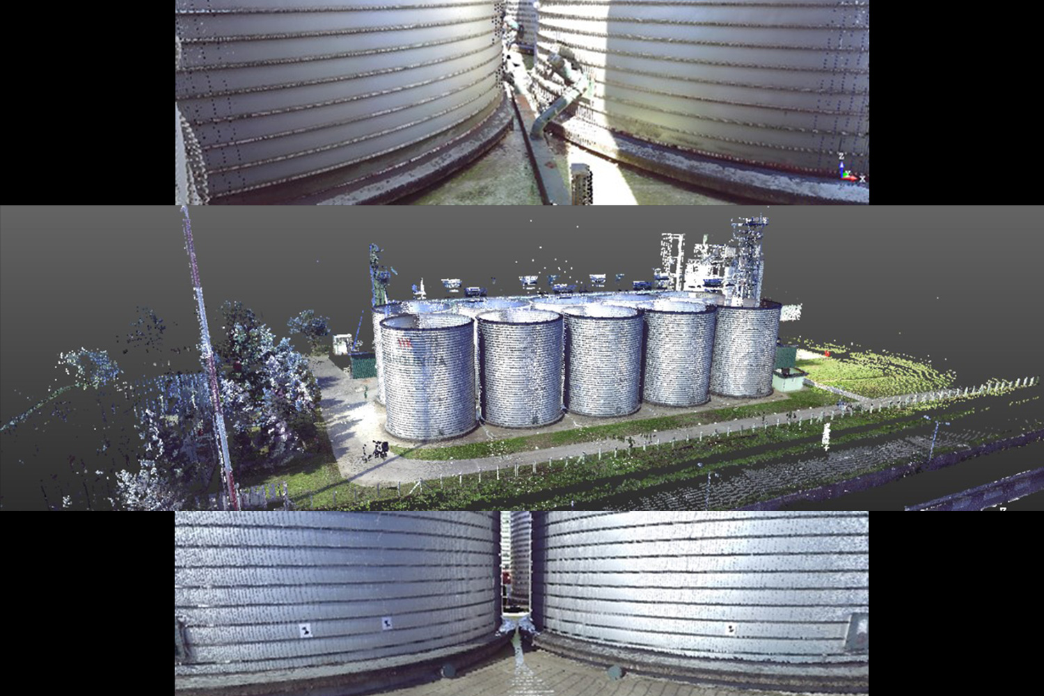
The resulting surveying product is a point cloud as a three-dimensional representation of the spatial environment, high accuracy and detail in the view. The application of laser scanning is multiple - construction, measurements and modeling of tunnels, bridges, facades, archeology, pipe modeling, volumetric calculations. Laser scanning can be performed statically from the Earth's surface (terrestrial laser scanning) or by using different mobile platforms - airplanes (airborne laser scanning) or classic mobile vehicles (mobile laser scanning).
In order to survey the area of interest with satisfactory accuracy, quality and density of data, it is necessary that the planning of data collection and the collection itself are performed by experienced experts who understand the technology and how it works and, of course, further processing of the collected data.