BIM represents the generation and use of a coordinated, unique and precise 3D object model based on an information system.
Project information provided by reliable digital representations of the facility can be used for: testing, analysis and simulation of different solution variants, preparation of accurate and up-to-date project documentation, forecasting facility performance in the built environment, material specification, construction cost estimation, and finally, management and facility maintenance.
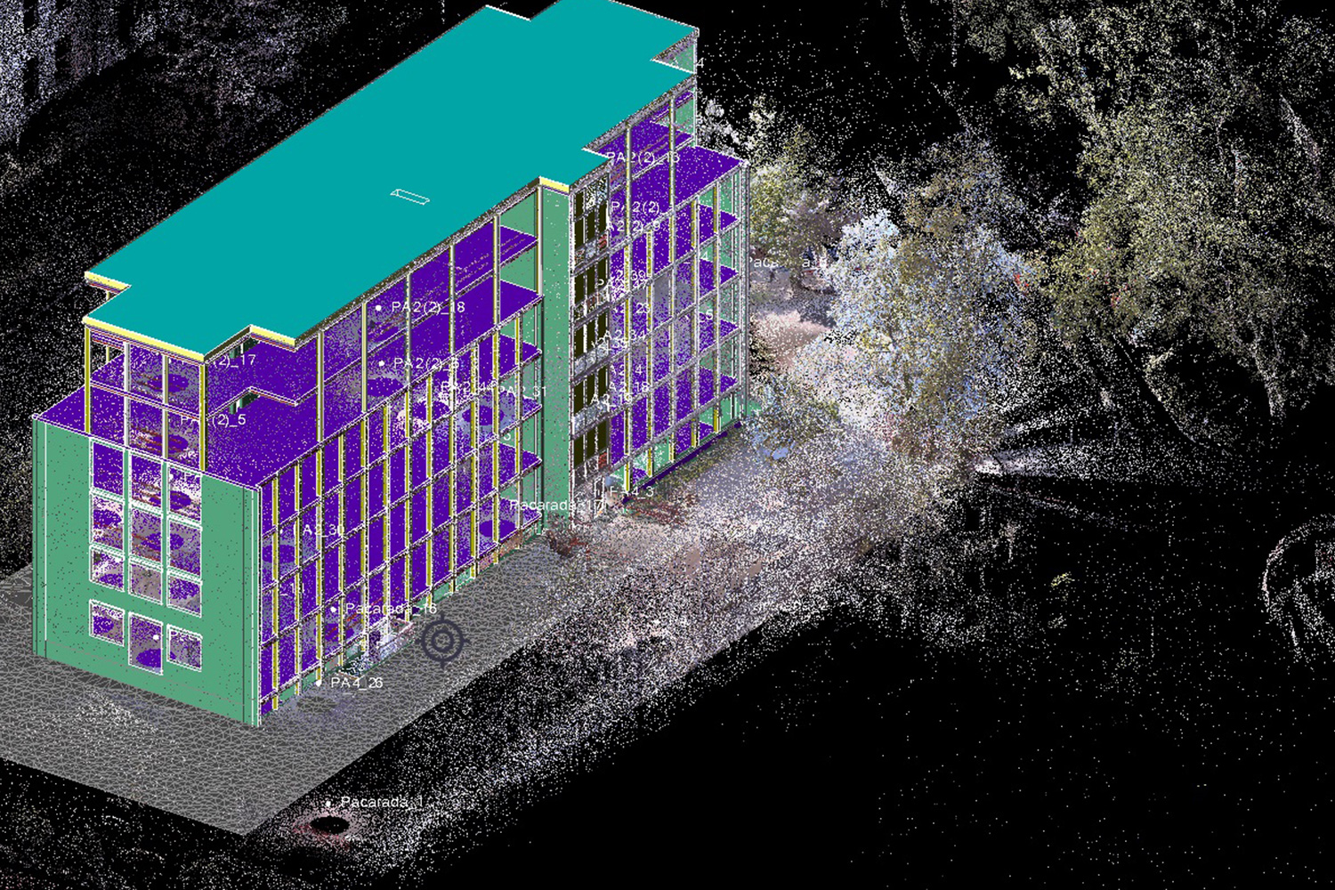
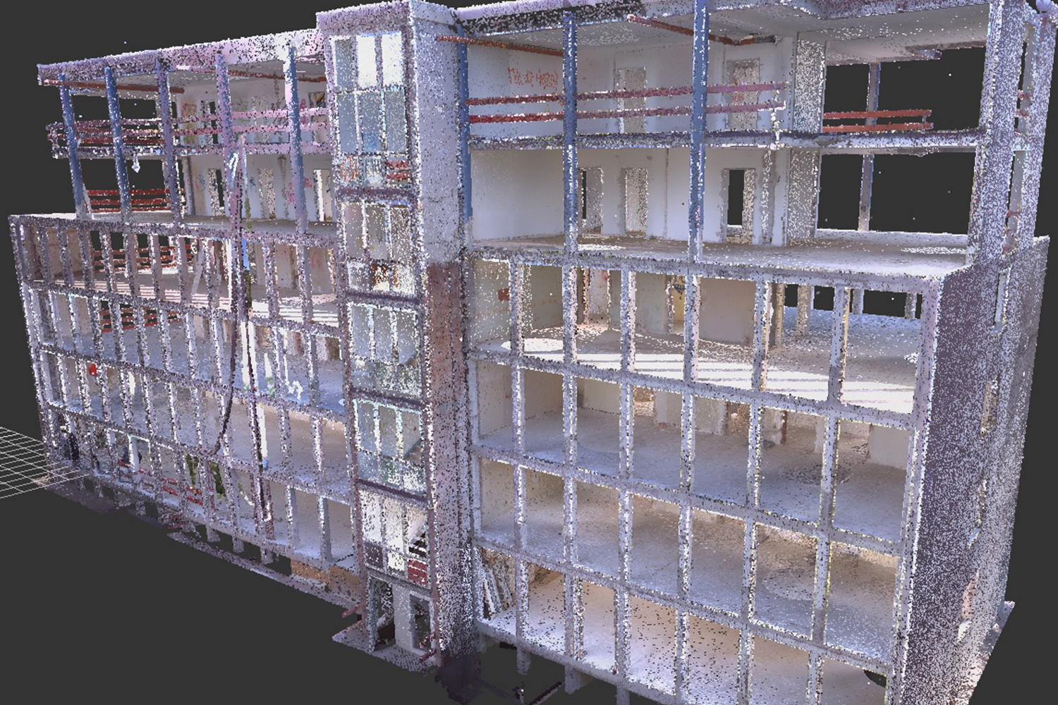
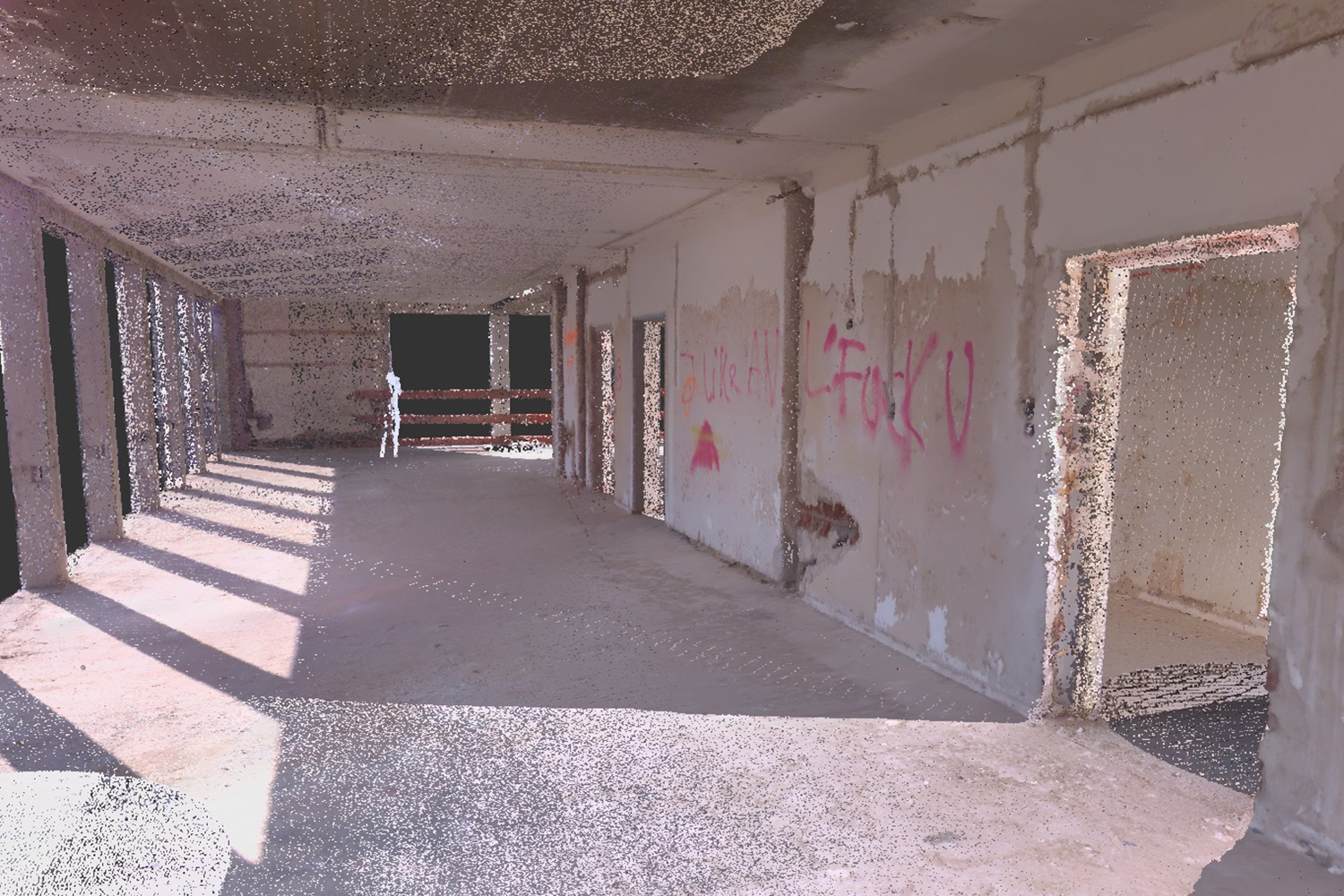
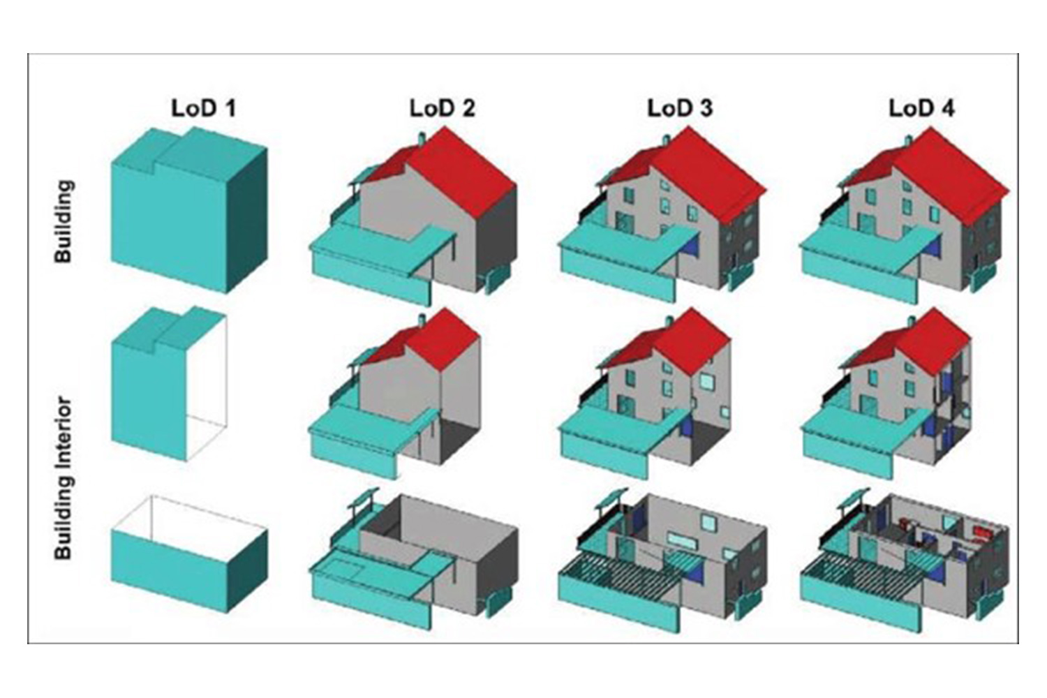
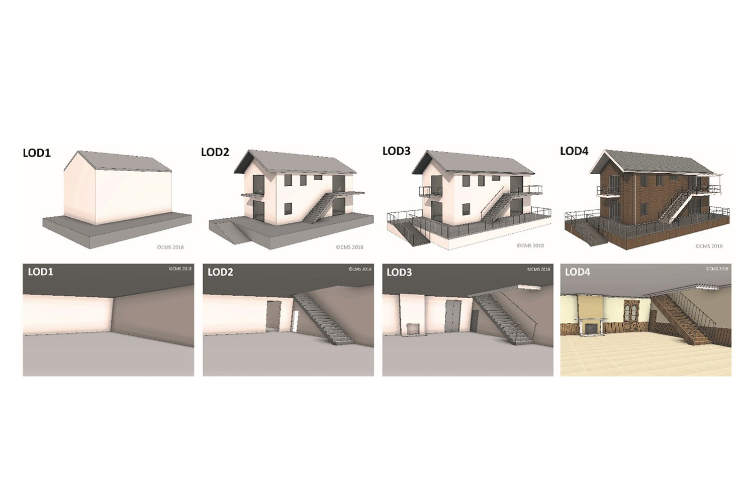
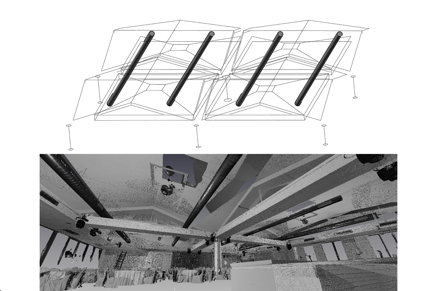
Creating 3D models of objects can be done with different levels of development, from the simplest level of development 100 (LOD 100) to the most complex level LOD 500. At the LOD 500 level of development, the element is equivalent to LOD 400, but its verification is also performed in the field. Using the BIM concept, it is possible to form a digital model of the building facade and the base of the building floors. The concept of BIM is a modern concept of "database" of an object that contains all relevant data about the object to which it refers and all phases of its construction and operation.
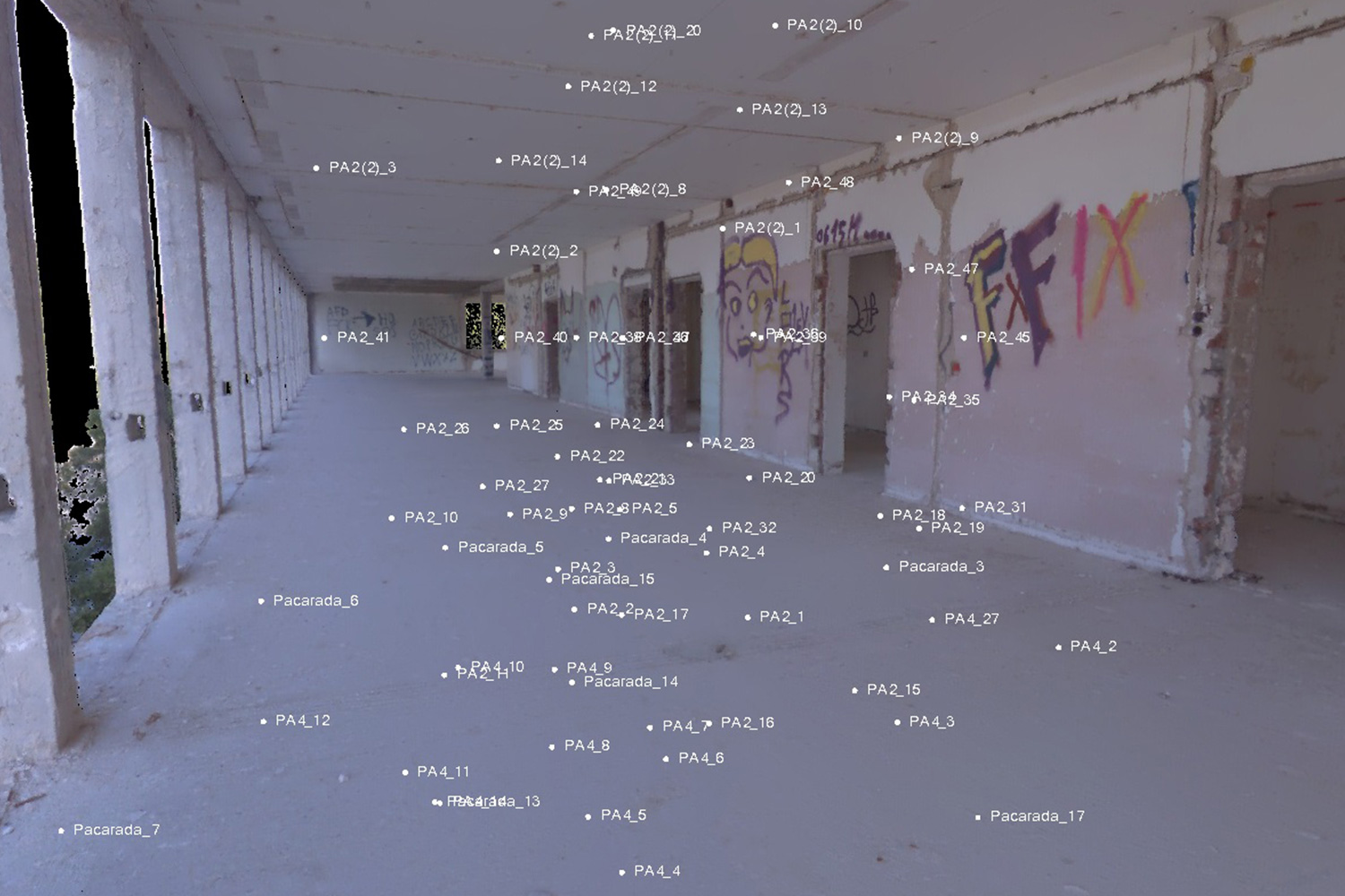
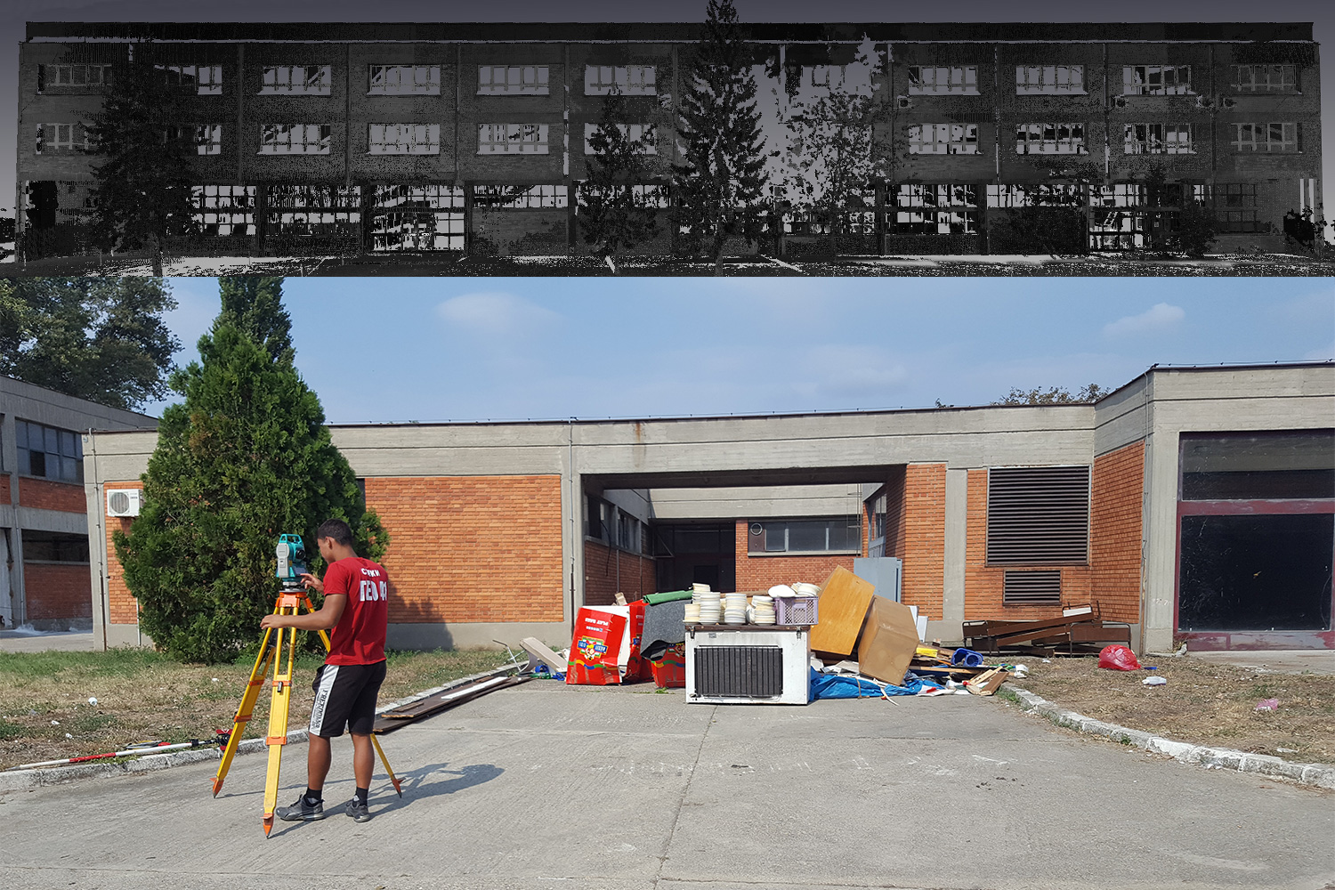
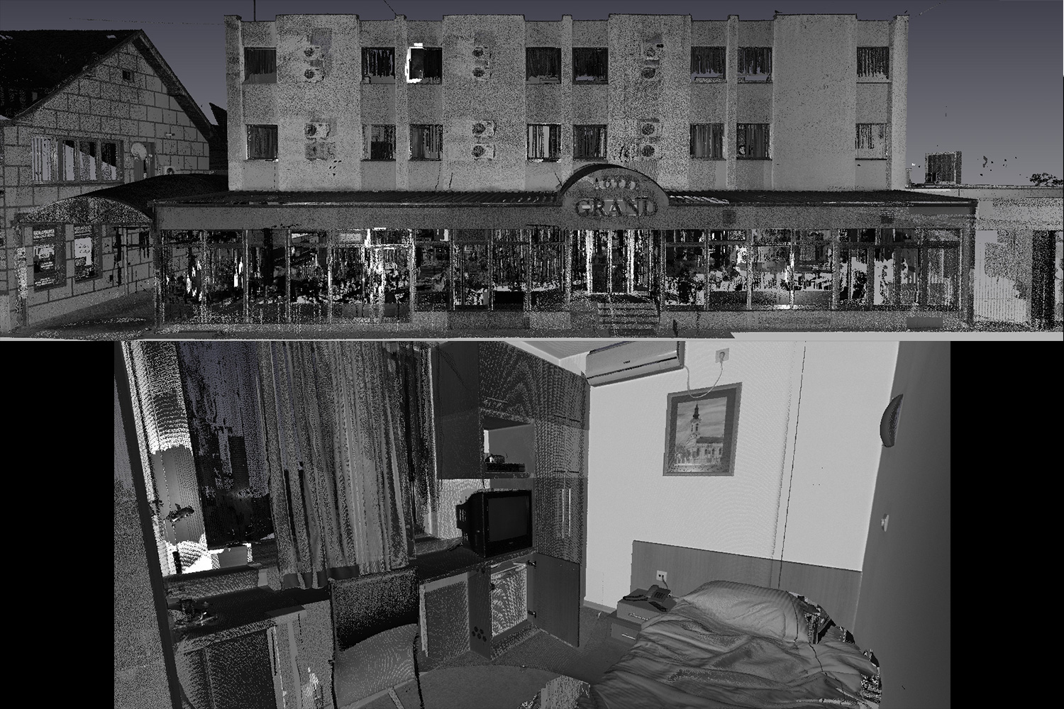
In order to form BIM and 3D models of objects and its constituent elements, geodetic experts are needed who have knowledge of how to collect data needed to create models, know how to work and know algorithms implemented in modeling software in order to obtain a detailed and accurate model.