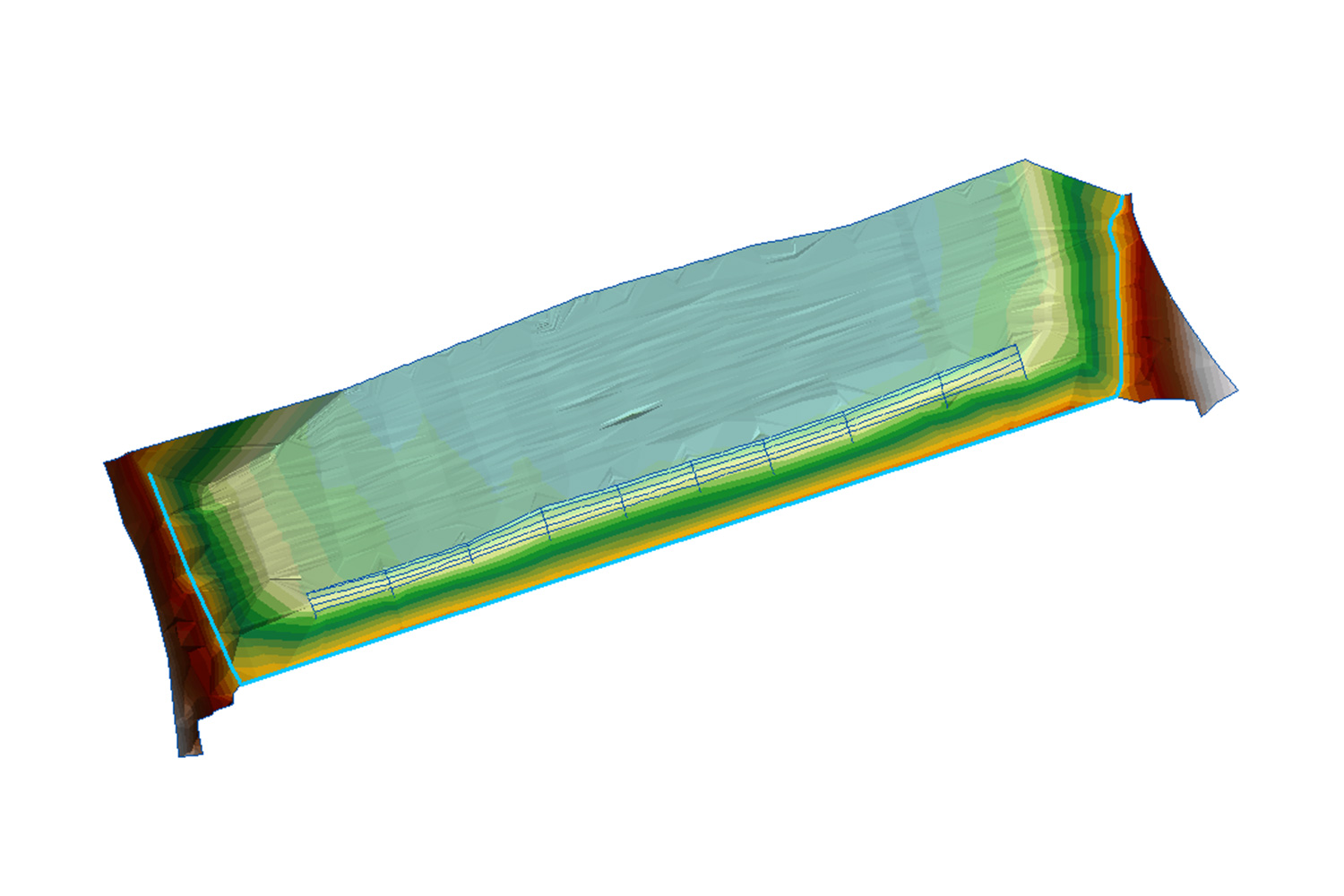
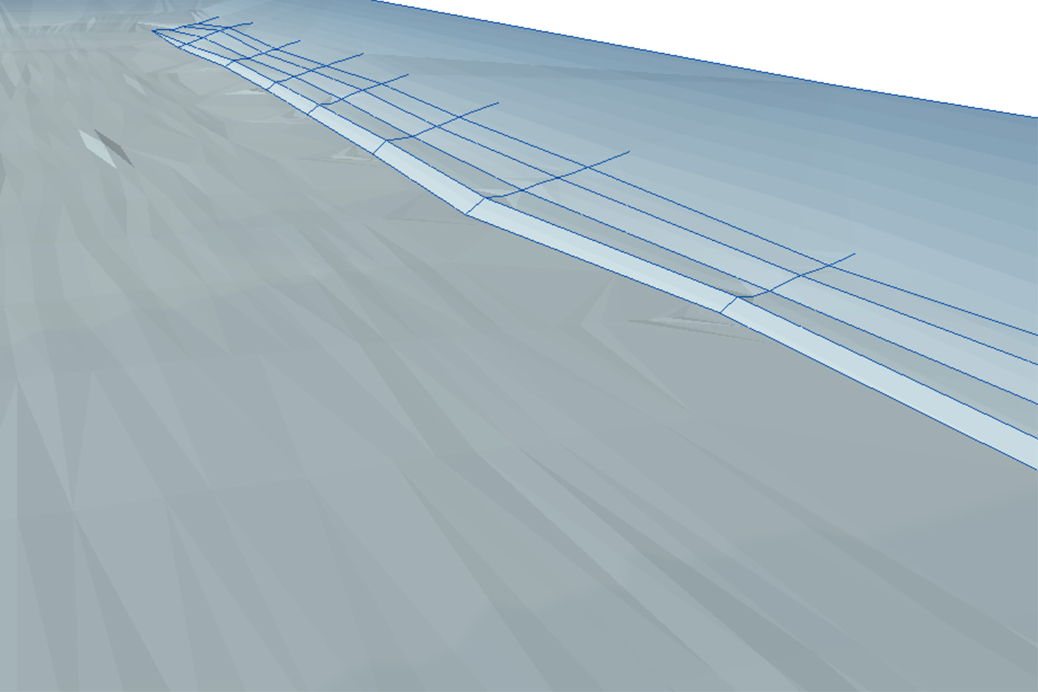
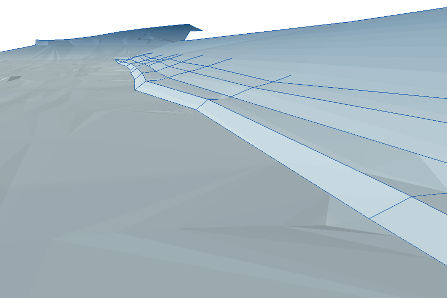
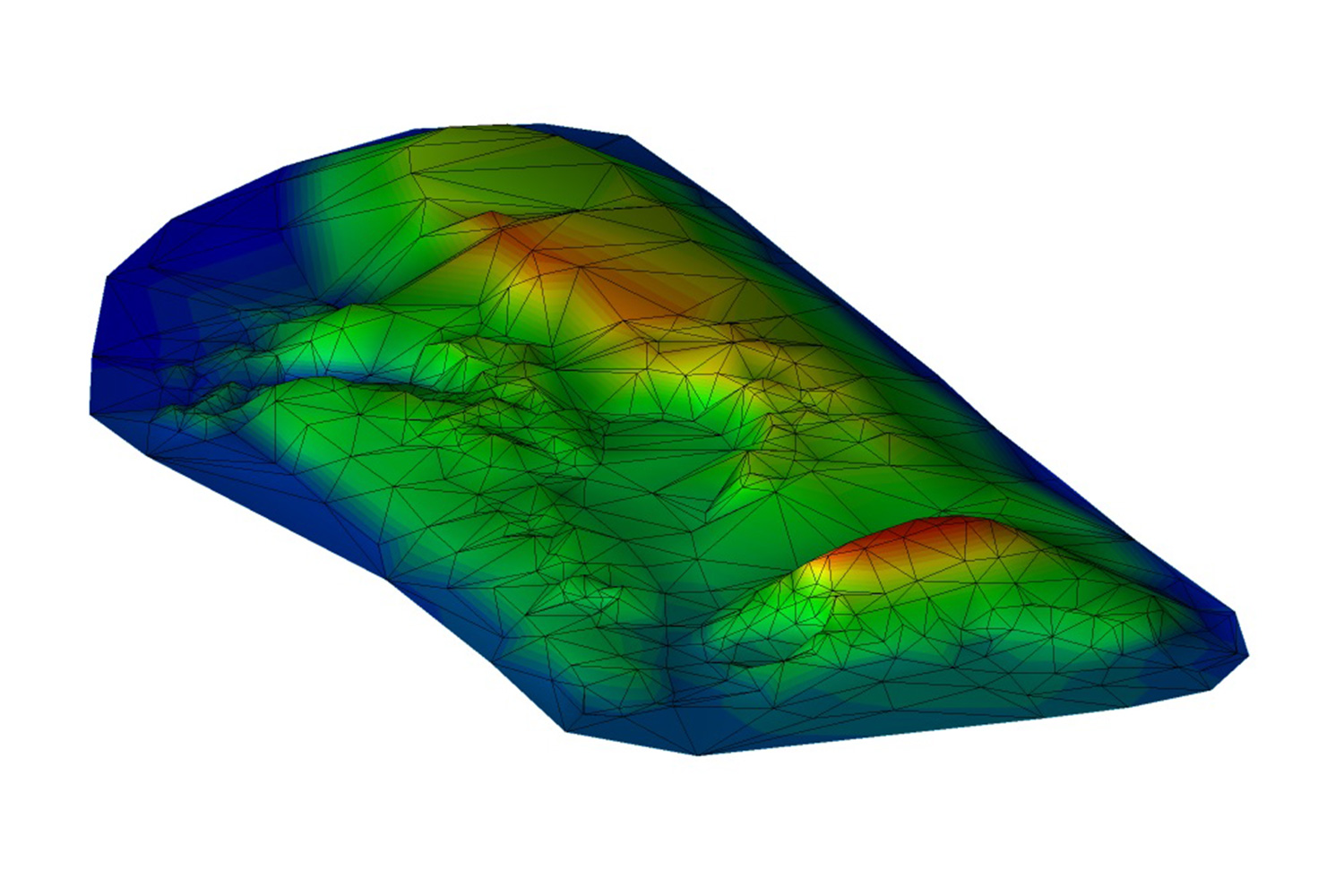
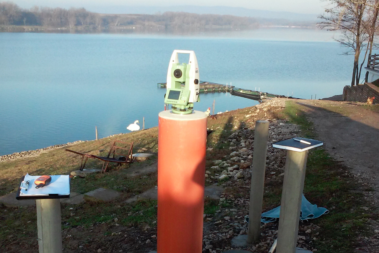
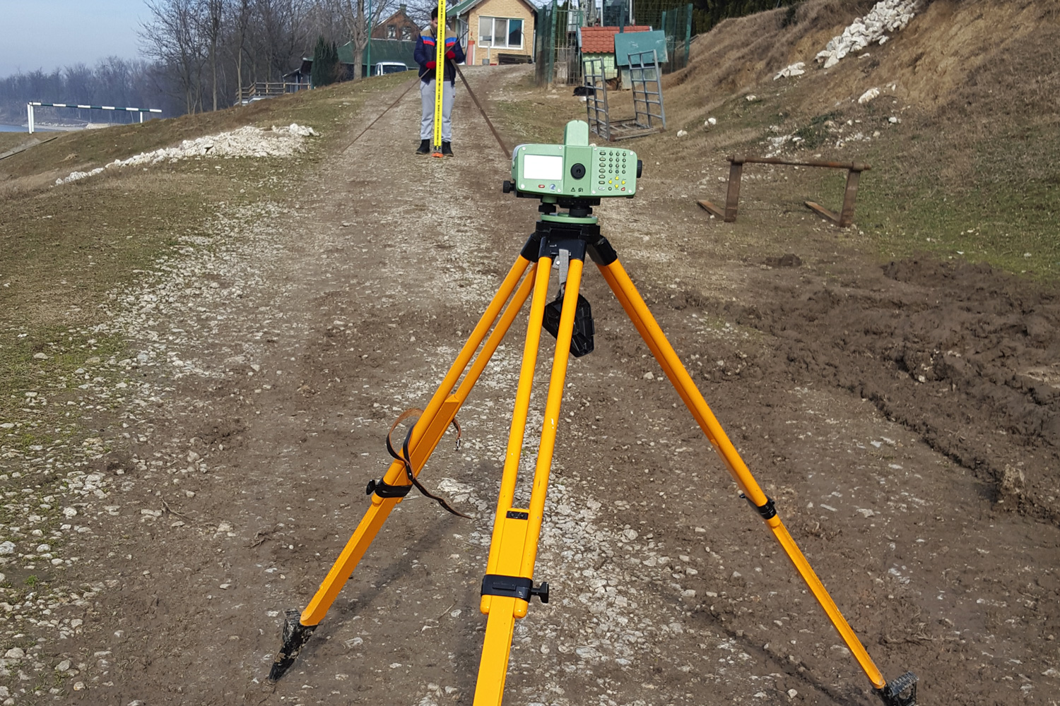
Engineering geodesy is part of geodesy that deals with the practical application of geodetic methods in a wide range of areas where it is necessary to perform precise definition and determination of geospatial data. The most common application of engineering geodesy is in areas such as construction, architecture, urbanism, archeology, mechanical engineering, shipbuilding, mining, energy, agriculture, forestry, telecommunications.
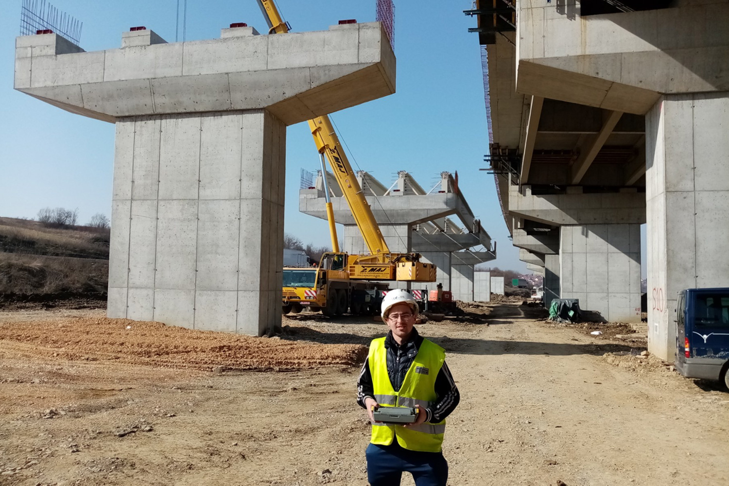
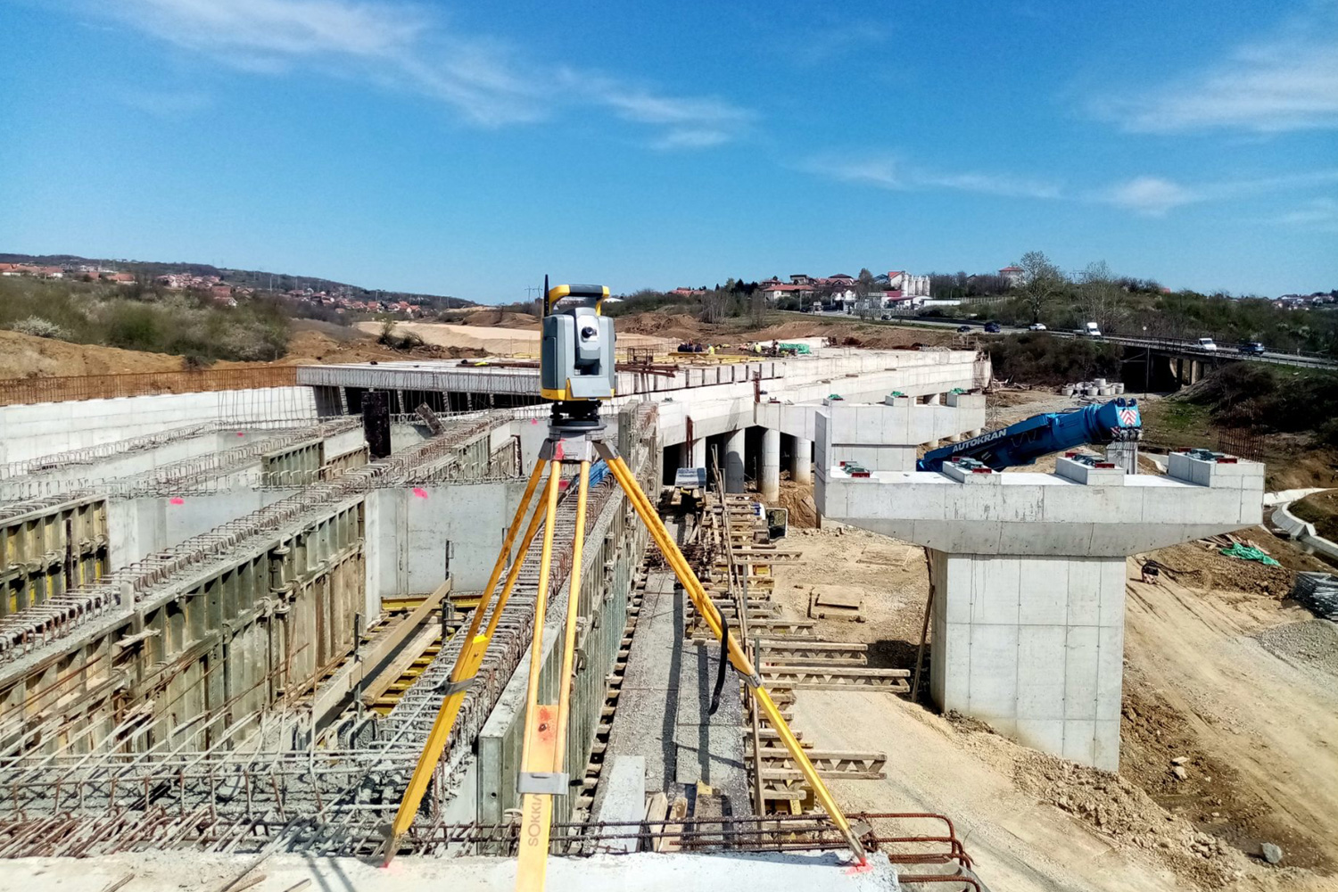
The most common works that are realized within engineering geodesy are for the needs of designing and construction of buildings, detection of building deformation and deformation analysis, terrain surveying and making geodetic maps that are base for design start, additional terrain measurements during detailed project creation and construction, marking the building on the field, building dimension control during construction as well as supervision over the displacements and deformations of the building during exploatation.